I am a PhD student in City and Regional Planning at the University of North Carolina at Chapel Hill. Previously I completed an MA in Computational Social Science at the University of Chicago and studied architecture at UC Berkeley.
My research works at the intersection of urban informatics and human-centered AI. I study urban perception, behavior, and mental health through LLM agent pathology, multi-agent deliberation, and vision-language models — with an emphasis on interpretability for planning decisions: not just whether a model predicts what people do, but whether its reasoning can be read, questioned, and acted on by the people who make the plans.
Research footprint — field sites mapped from published work. Drag to explore.
01
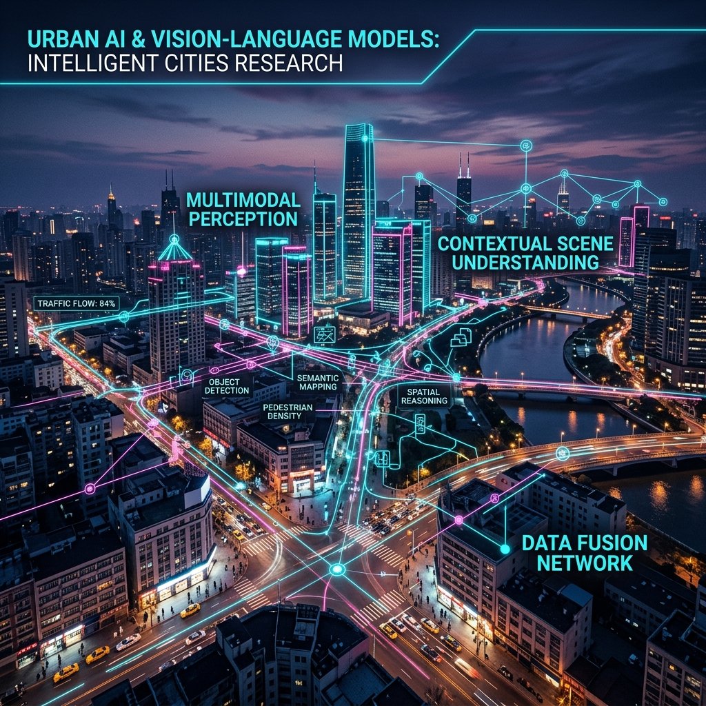
Urban Perception & Vision-Language Models
How people experience urban environments — via crowdsourced data, street-view imagery, and social media — and how AI systems represent those perceptions.
VLM / CLIPStreet ViewNLP
02
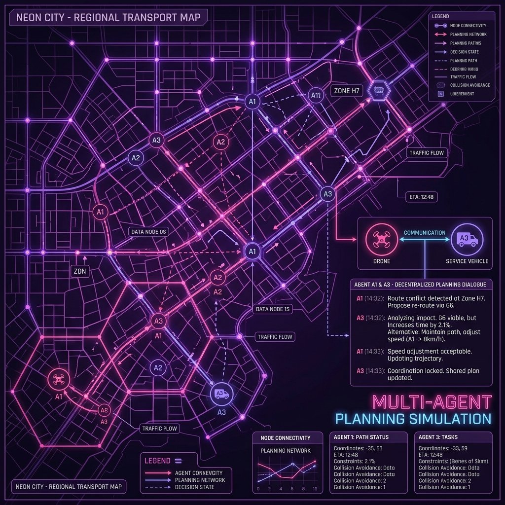
LLM Planning Simulation & Decision-Making
LLM multi-agent frameworks that model planning decision processes — behavioral bias, intent understanding, negotiation, and alignment in policy contexts.
Multi-Agent LLMPlanning AIIntent
03
Urban Health & Environmental Justice
Long-term environmental exposures — air pollution, heat, green-space inequality — and their disparate effects on health across demographic groups.
Env. HealthGISEquity
02 · Publications
Selected papers
Publications by year
JournalConference
2026
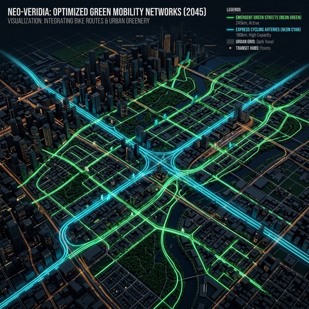
Desirable Bikeshare Routes: Nonlinear Impacts of Micro-Level Street Environments
Transportation Research Part A: Policy and Practice
Cai, Y., Song, Q., Cheng, Y., Chen, A., Wang, Y., Li, W., & Qiu, W.
If your email application did not open automatically, you can send it manually or copy the text below:
← Write another message
05 · Writing
Blog & tutorials
Notes, ideas, and hands-on tutorials on urban AI, urban perception, and computational methods — sharing work in progress and what I learn along the way. Newest first.
Blog
BlogJul 2025
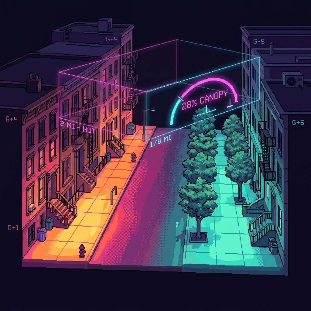
Urban scene types & heat-island risk in NYC — insights from interpretable ML
A plain-language walkthrough of our Urban Climate paper: which street-level features shape land-surface temperature across New York City. Street greenery beyond roughly 28% canopy, building height, and neighborhood socioeconomic context emerge as the strongest drivers — and heat exposure falls unevenly, with already-vulnerable neighborhoods carrying disproportionate risk.